 By Aidan Sowa · October 2026 · Scottsdale Airpark / Cactus Corridor, Arizona
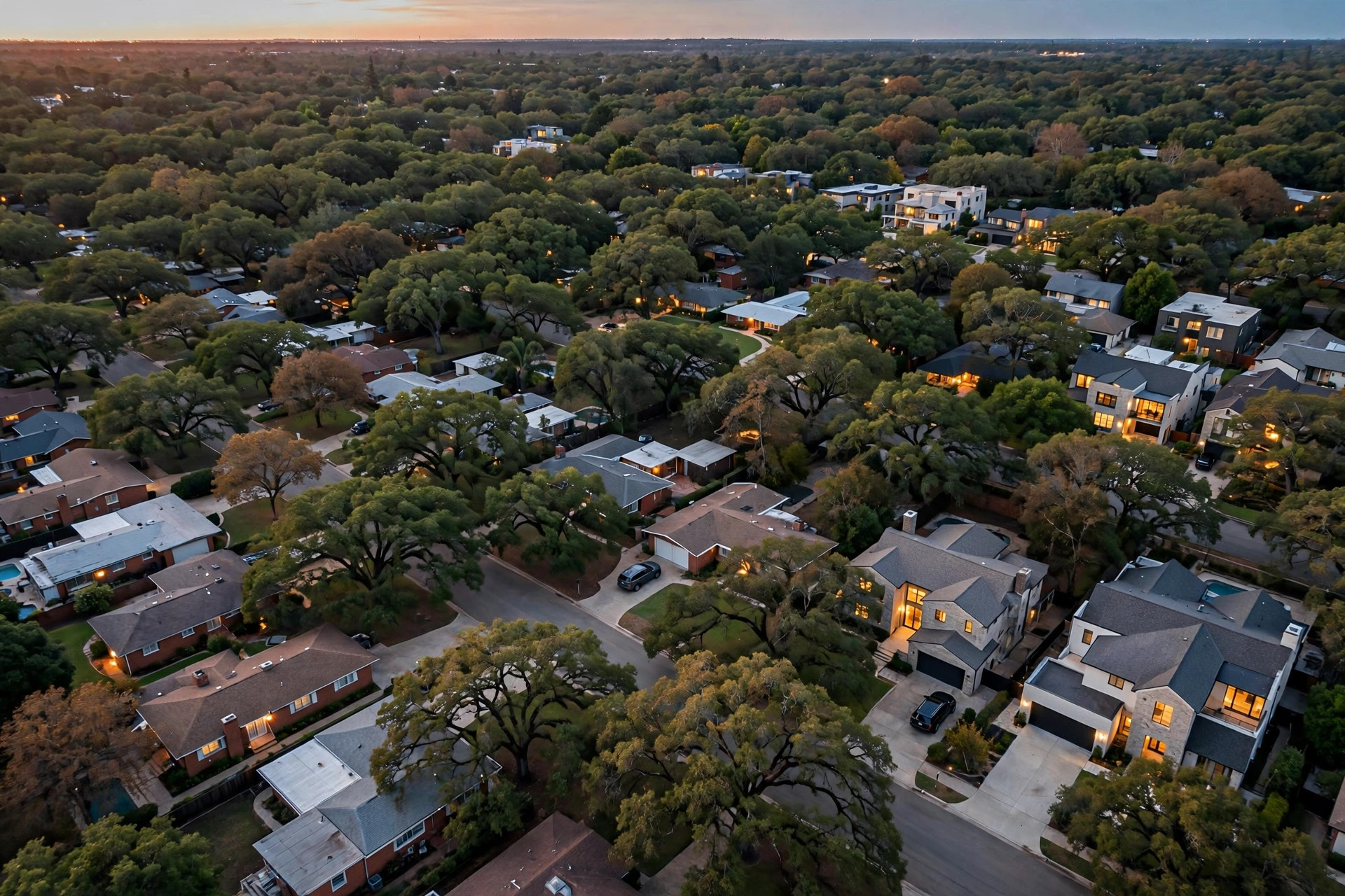
Within Scottsdale Airpark / Cactus Corridor, the highest property values cluster where the parcels are largest and most buildable, along Cactus Road and among the large lot estate parcels described in the research as the Cactus Road Estates, a geographic descriptor for those big Cactus Road lots rather than the name of a platted subdivision. That conclusion is reached by method, because the source material publishes no price table that ranks sub areas inside ZIP code 85260 against each other, and this report invents none. The documented evidence points the same way from three directions: bare land at 0.87 acre on Cactus Road was valued near 595,000 dollars (Local records, 2026), assessed land value follows lot size and zoning most closely (Maricopa County Assessor, 2026), and the top funded sales for older homes reached 1,360,000 dollars within an overall band of 680,000 dollars to 1,360,000 dollars (Redfin, 2026). Parcels near the Airpark District and standard interior lots follow behind, shaped by overlay rules, smaller dimensions and household demand.
Key Findings
- No sub area price ranking for 85260 exists in the source material, so the highest value pattern is established from parcel, land and deed evidence rather than from a published table (Maricopa County Assessor, 2026).
- The strongest documented land figure in the corridor, near 595,000 dollars for 0.87 acre, sits on Cactus Road, the named corridor at the heart of the neighborhood (Local records, 2026).
- Older homes funded as high as 1,360,000 dollars, and the upper closings align with generous lots and finished house potential rather than with interior features alone (Redfin, 2026).
- Builders acquired 10 of 12 sampled homes, concentrating competitive bidding on the parcels that support premium finished houses (Frontier Capitals, 2026).
- Airport overlay zoning shapes parcels near the Airpark District and can restrain values there relative to clear, large Cactus Road lots (City of Scottsdale, 2026).
How can sub areas be compared when no ranking table exists?
Comparison without a published table requires a transparent substitute, and the substitute used here combines three records any owner can verify. The parcel record supplies lot area, dimensions and zoning for each part of the corridor (Maricopa County Assessor, 2026). The land record supplies at least one hard anchor, the Cactus Road valuation near 595,000 dollars for 0.87 acre (Local records, 2026). The deed record supplies funded prices and buyer identities street by street (Maricopa County Recorder, 2026). Where all three records strengthen together, values are highest. Where one or more weaken, values step down in a predictable order.
That order matters more than any label. The research for this neighborhood names only a small set of places: the Cactus Corridor along Cactus Road as the defining corridor, the Airpark District near the airport, and the large lot estate parcels along Cactus Road captured by the Cactus Road Estates descriptor. Scottsdale and Maricopa County provide wider context and nothing finer. A report that invented additional enclave names or assigned each a price would be manufacturing geography, and this report declines to do so. Instead it ranks by parcel character within the documented places, which is both honest and more useful, because two lots on the same named street can still differ by hundreds of thousands of dollars.
The wider city supplies context for the exercise without settling it. Scottsdale overall, with its broad mix of housing ages and tenure, supports strong values across many districts (U.S. Census Bureau, 2025). The city median listing price of 899,000 dollars sits near the middle of the corridor funded band (Realtor.com, 2026). Neither fact distinguishes one corridor street from another. Distinction comes only from lot evidence, and the lot evidence in this neighborhood speaks unusually clearly because builders, the most lot sensitive buyers of all, set most sampled prices.
Why do the large Cactus Road parcels lead?
Scale leads first. Corridor lots run from the sampled minimum of 9,000 square feet to half an acre and larger along Cactus Road, and value rises with the buildable program that scale permits. A large parcel accepts a finished house at the top of the corridor new construction band, which runs from 1,700,000 dollars to 2,300,000 dollars and above (Redfin, 2026). Through residual math, that finished potential converts into land bids that smaller parcels cannot attract. The illustration in the research, labeled simplified and not a promise, turns a 2,000,000 dollar finished sale into residual land value around 825,000 dollars to 925,000 dollars before site preparation. Only generous, well shaped lots can host the finished houses that make such residuals possible.
The estate descriptor captures exactly those lots. The Cactus Road Estates wording in the research describes the large lot estate parcels along Cactus Road, including the documented 0.87 acre parcel, as a geographic pattern rather than as a platted subdivision with recorded boundaries. Owners should hold that distinction firmly: prestige here attaches to parcel substance, frontage, depth and street position, not to a subdivision sign. A modest lot that happens to sit among estate parcels does not inherit their value, and an exceptional lot on an unnamed stretch of the corridor does not lose value for lacking a label. The parcel record, not the descriptor, carries the price.
Competition completes the leadership explanation. With builders acquiring 83.3 percent of sampled older homes (Frontier Capitals, 2026), the parcels builders contest most intensely set the corridor ceiling. Builders contest large Cactus Road lots because each one can carry a flagship finished house whose sale validates the land bid. When several builders want the same flagship parcel, the funded price can reach the top of the older home band at 1,360,000 dollars even when the existing house is original, because the contest concerns the ground and its program, a dynamic also traced in the study of how lot size drives corridor values.
How do Airpark District and interior parcels compare?
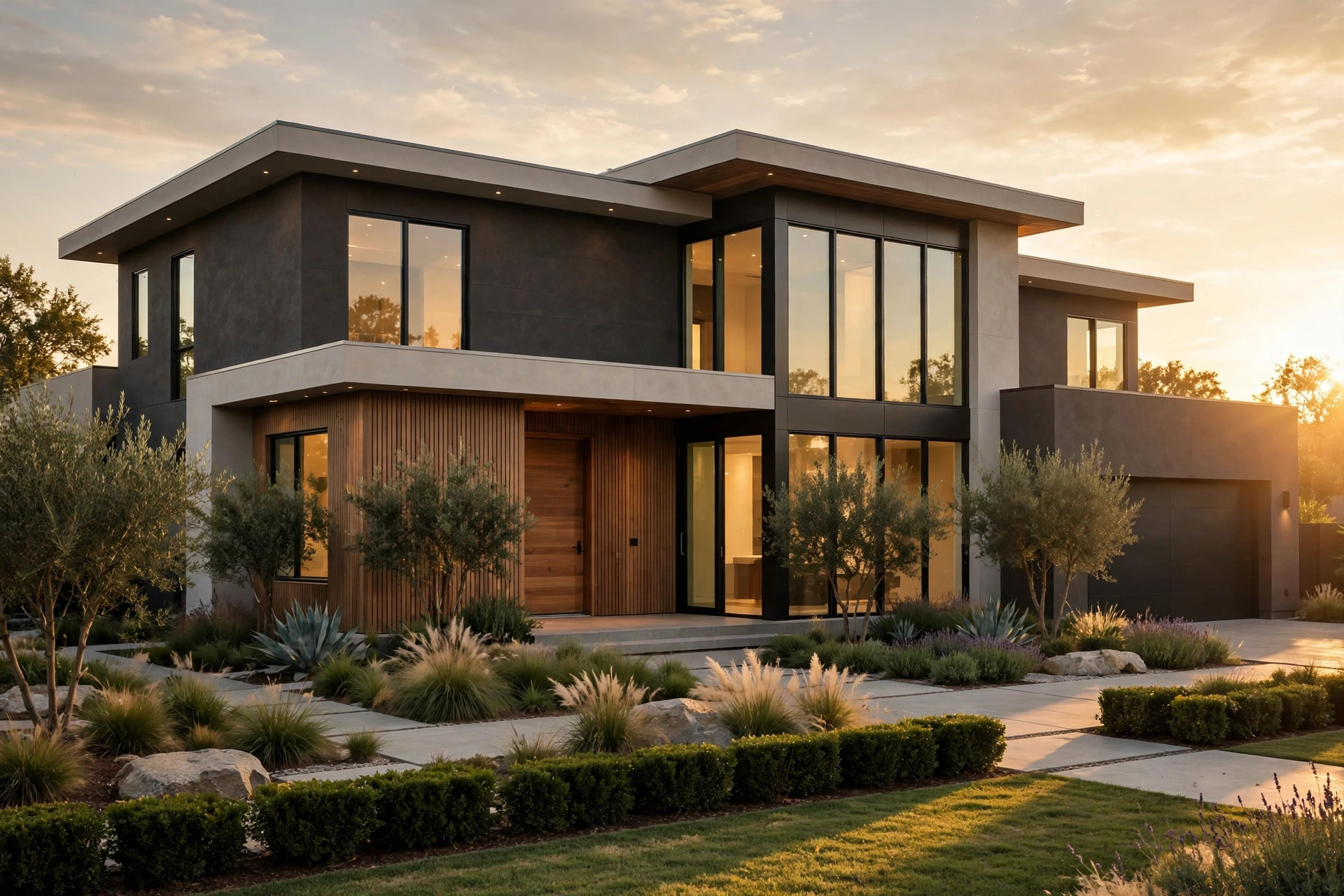
Parcels near the Airpark District trade under an additional set of facts. Airport noise contour maps and airport overlay zoning shape what can be built and how finished houses are experienced there (City of Scottsdale, 2026). For some buyers, proximity to the airpark is a genuine amenity tied to aviation and convenience. For builders, overlay limits on height and placement can narrow the finished program, and a narrowed program lowers the residual the parcel can support. The result is a mixed position: well situated Airpark District parcels hold strong values, while constrained parcels step below comparable clear lots along Cactus Road even at similar acreage.
Standard interior lots form the broad base of the corridor market. At or near the 9,000 square foot sampled minimum, with conventional zoning and no exceptional frontage, these parcels draw mainly household demand supplemented by selective builder interest where dimensions still permit a competitive finished house. Their funded prices populate the lower and middle reaches of the 680,000 dollars to 1,360,000 dollars band (Redfin, 2026). Condition matters more here than anywhere else in the corridor, because households price the structure directly. A renewed interior house can therefore outfund an original estate area house whose lot, for shape or overlay reasons, fails to excite builders, a reminder that the ranking describes tendencies across many sales, not a law governing every closing.
Valuation pages illustrate the base without explaining it. Modeled figures for interior addresses blend recorded characteristics with surrounding sales (Zillow, 2026). On standard lots with typical houses, that blend tracks funded reality tolerably. On the estate parcels that lead the corridor, the same blend understates land competition, which is why the top of the true value ranking is invisible to anyone browsing estimates alone. Owners comparing areas should compare deeds and parcels, in the manner of the comparable sales method for this corridor, before comparing website figures that cannot see the contest for the ground.
What role do finished houses play in the ranking?
Finished new houses act as public proof of what each part of the corridor can support. A completed sale at 2,300,000 dollars on a given stretch does more than enrich its seller: it reprices every neighboring older parcel by enlarging the residual builders can justify there. Streets with repeated top band finished closings therefore develop a self reinforcing value lead, as each closing both results from and contributes to land demand. Streets where finished houses cluster at the lower end of the new construction band support older home values that are solid but capped, because the residual ceiling is lower even for excellent lots.
Owners can watch that proof accumulate in the deed record (Maricopa County Recorder, 2026). Recorded finished sales, recorded builder acquisitions of older homes and recorded lot transactions together draw a live map of where value leadership is consolidating. That map will never match a tidy sub area table, because leadership follows parcels and finished outcomes rather than boundaries. It will, however, match funded reality, which no static ranking can claim once a season of closings has passed. For an owner deciding whether to sell into current leadership or wait for a neighboring finished closing to lift the street, the deed map is the decision document.
The broader worth framework that incorporates these area differences is set out in the 2026 valuation of corridor houses, where area position is treated as one input among lot, buyer and net cost inputs rather than as a standalone premium. That treatment is deliberate. Area leadership in this corridor is real, but it expresses itself through parcel economics that an owner can measure, not through a mystique that an owner must simply believe.
What does area leadership mean for a seller deciding now?
Leadership changes tactics, not just expectations. An owner of a large, clear Cactus Road parcel owns the asset class builders contest most strongly, and should ensure land bids are genuinely tested rather than accepting the first household oriented valuation that arrives. An owner near the Airpark District should establish overlay facts early, so that pricing reflects the true program the parcel allows. An owner of a standard interior lot should compete on condition and presentation for household buyers, where those investments still move funded prices. Each tactic follows from the same ranking, applied at parcel scale.
Frontier Capitals sources off market deals to builders as a wholesaler, and for owners in the leading parcel class that route directly tests the demand the ranking describes. Its five effects apply across the corridor. Privacy holds in full, since the process involves zero showings, zero open houses and no public marketing period at all. The closing date flexes as well: 7 to 21 days, or months out with a leaseback, against the 60 to 120 plus days a listed older home takes. No commission is charged, preserving the typical 5 to 6 percent, worth 24,750 dollars to 29,700 dollars on the 495,000 dollar research illustration (National Association of Realtors, 2025). No seller closing costs in the 1 to 2 percent range are deducted, avoiding a combined burden commonly above 29,000 dollars on that illustration. No inspection credits in the 10,000 dollars to 30,000 dollars range arise, and the property transfers in its current condition.
Net thinking matters most at the top of the market, because percentages apply to larger numbers. A leading parcel that funds strongly on the listed route still surrenders commission and costs proportional to that strong price, while a direct land sale preserves the full agreed figure on the terms above. Sellers in any part of the corridor can model both outcomes with the net proceeds calculation for corridor sales, and owners of leading parcels can request a parcel specific land figure from Frontier Capitals at 401-219-4207 or through the contact page. Verification should include proof of funds dated within the last 30 days and entity purchases confirmed in deeds, whatever route is chosen.
Methodology and limitations
This report ranks value patterns inside 85260 by method, using the study sample of 12 older homes with 10 builder acquisitions and a 24.7 percent average ratio (Frontier Capitals, 2026), the funded band and new construction band from sold records (Redfin, 2026), the Cactus Road land anchor, and parcel and overlay records cited in the body. The decisive limitation is repeated plainly: the source material contains no sub area price table, no median by street and no ranking of named enclaves within the ZIP code, and none has been fabricated here. The Cactus Road Estates is treated throughout as the research treats it, as a geographic descriptor for large Cactus Road parcels and not as a platted subdivision.
Further limits apply. The sample is small and builder focused, assessment practice is described at the level the records support, and no property was inspected or surveyed. Individual parcels can defy the general ranking through shape, access, easements or exceptional condition in either direction. Owners should confirm the position of a specific parcel with current deeds and the parcel record before relying on the pattern for a pricing or timing decision.
Conclusion
The highest values in Scottsdale Airpark / Cactus Corridor belong, on the available evidence, to the large and buildable parcels along Cactus Road, including the estate scale lots the research groups under the Cactus Road Estates descriptor, followed by well situated Airpark District parcels whose overlay position still allows a strong program, and then by the broad base of standard interior lots where condition and household demand govern. That ranking rests on land value, finished house potential and builder competition rather than on names, and it can be verified parcel by parcel in public records. For any individual owner, the ranking is a starting hypothesis. The parcel record and the deed history deliver the verdict.
If your street name stayed the same but your lot doubled in size, would your value ranking change, and by how much?
Frequently Asked Questions
Is the Cactus Road Estates a formal subdivision?
No. In the research behind this report the phrase describes the large lot estate parcels along Cactus Road as a geographic pattern, including the documented 0.87 acre parcel valued near 595,000 dollars for land alone (Local records, 2026). It is not presented as a platted subdivision name, and value attaches to the parcels themselves.
Which documented figure best shows where values peak?
The land anchor is the clearest single signal, because bare ground near 595,000 dollars on Cactus Road exceeds the entire funded price of many older homes elsewhere in the corridor. Combined with top funded sales at 1,360,000 dollars (Redfin, 2026), it locates the value peak on the large corridor parcels.
Do Airpark District homes always trail Cactus Road homes?
Not always. Overlay limits restrain some Airpark District parcels (City of Scottsdale, 2026), while aviation convenience and strong finished outcomes support others. The ranking describes the general pattern across sales. An individual Airpark parcel with a clear program can outfund a constrained Cactus Road parcel.
How can an owner verify which tier a parcel occupies?
Check lot area and zoning in the parcel record (Maricopa County Assessor, 2026), check overlay exposure on city maps, then compare recent deeds on the same street for funded prices and buyer types (Maricopa County Recorder, 2026). Those three checks place a parcel in the ranking with evidence rather than opinion.
Does a high value area change the best selling route?
It changes the emphasis. Leading parcels should test builder demand directly, because land competition created their lead. Standard lots often benefit more from household presentation. In both cases the net comparison, after commission at the typical 5 to 6 percent and other listed costs (National Association of Realtors, 2025), should decide the route.
Why does this report avoid naming additional enclaves?
The research names only the Cactus Corridor, the Airpark District and the large Cactus Road estate parcels as places inside this neighborhood. Inventing further enclave names or prices would mislead sellers. Scottsdale and Maricopa County are used as context only, exactly as the underlying materials use them.
Sellers in Scottsdale Airpark / Cactus Corridor also ask Which Scottsdale Airpark / Cactus Corridor Neighborhoods Have the Highest Demand for Teardown Properties? and How Much More Are Renovated Homes Selling for in Scottsdale Airpark / Cactus Corridor?
Sources
- Frontier Capitals, 2026. 189-neighborhood builder-acquisition study: 12 homes sampled in 85260, 10 acquired by builders, average older-home price 24.7% of new build. Market data.
- Redfin, 2026. Recently sold homes and new construction, ZIP code 85260, Scottsdale AZ. Market data.
- Maricopa County Assessor, 2026. Parcel and assessment records, Scottsdale AZ. Official record.
- Local records, 2026. Cactus Road parcel valuation, 85260. Market data.
- Maricopa County Recorder, 2026. Recorded deeds and county land records, Maricopa AZ. Official record.
- City of Scottsdale, 2026. Airport noise contour maps and airport overlay zoning. Official record.
- U.S. Census Bureau, 2025. QuickFacts: Scottsdale city, Arizona. Government data.
- Realtor.com, 2026. Published market data: Scottsdale median listing price $899,000. Market data.
- Zillow, 2026. Home values and recently sold, 85260. Market data.
- National Association of Realtors, 2025. Typical seller commission structures, Scottsdale market. Industry report.