Inside Southampton, the highest property values sit where the research first driver points: close to the ocean. The ocean roads and the south of the highway area of ZIP code 11968 carry the top values, the village follows, and the older hamlet streets and inland blocks sit below them, in a ranking that follows the order the study assigns to value itself: ocean and village proximity first, lot size second, and the Manhattan second home bid third (Frontier Capitals, 2026). New construction prices mark the gradient in dollars, selling from 3,500,000 to 8,000,000 dollars on standard lots, with the top of that range found where land is closest to the water (Redfin, 2026).
This report stays inside Southampton, because the question asks about its internal ranking. The research does not publish a separate price table for each internal area, so the ranking here is built from the documented driver order, the finished price range, and the sample pattern in which builders acquired 13 of 16 pre-1981 homes, concentrating where the finished prices justify the largest land residuals (Frontier Capitals, 2026). What follows explains each band, what holds it up, and what the ranking means for an owner in each.
Key Findings
- Ocean proximity is the first ranked driver of Southampton land value, placing the ocean roads and the south of the highway area at the top of the internal ranking (Frontier Capitals, 2026).
- New construction on standard lots has sold from 3,500,000 to 8,000,000 dollars, with location deciding the position in the range (Redfin, 2026).
- Lot size is the second ranked driver, so large lots inside the top location bands outprice standard lots there (Frontier Capitals, 2026).
- Builders acquired 81.2 percent of sampled pre-1981 homes, and builder demand concentrates where finished prices support the largest residuals (Frontier Capitals, 2026).
- Luxury coverage of Southampton describes the top tier as a thin, negotiated market anchored by leading brokerage activity (Wall Street Journal, 2026).
What puts the ocean roads and the south of the highway area first?
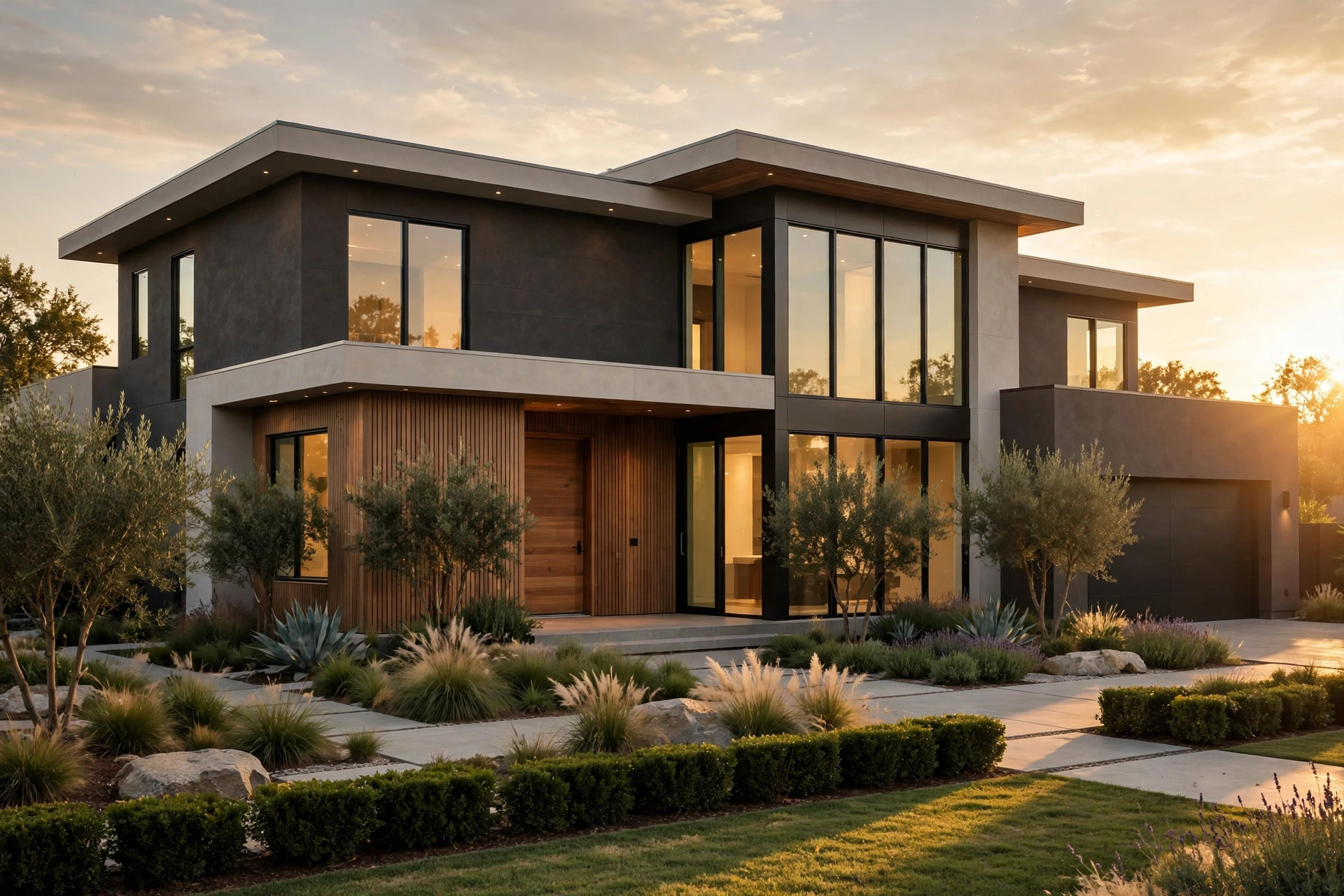
Proximity to the water does it, working through finished prices. A new home that can see or nearly reach the ocean sells into the deepest part of the Manhattan second home bid, which is why the finished range in 11968 reaches 8,000,000 dollars on standard lots in the strongest locations (Redfin, 2026; Frontier Capitals, 2026). Land underneath those finished prices is priced by the residual: from a top band finished sale, less construction costs and margin, the land keeps a share no inland parcel can match. The research states the general form with a mid range example, a 4,500,000 dollar finished sale supporting residual land value in the neighborhood of 2,000,000 to 2,300,000 dollars after roughly 1,600,000 dollars of costs and a margin near 20 percent (Frontier Capitals, 2026). Move the finished price toward the top of the range and the residual rises with it.
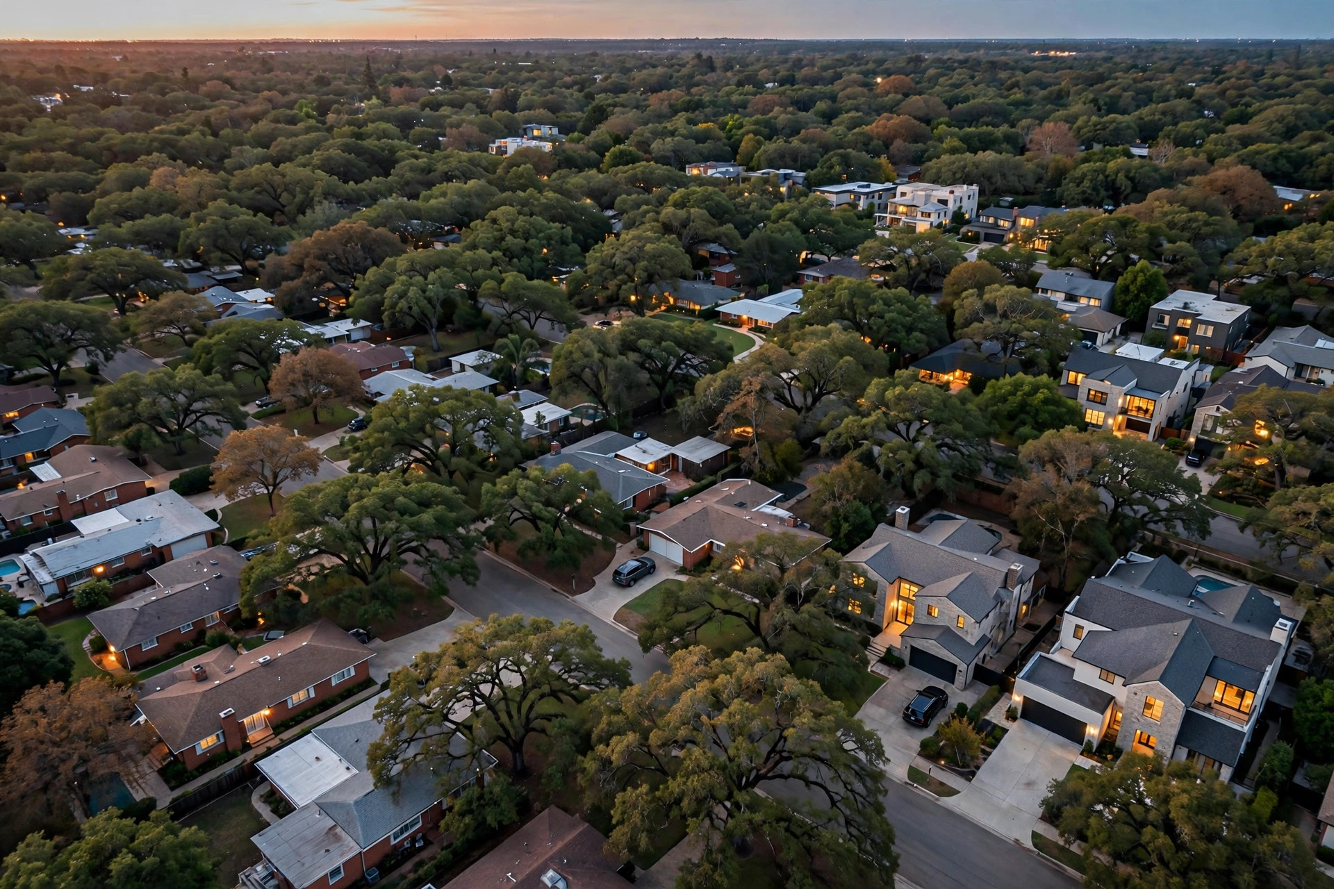
The building pattern confirms the ranking visually. In the village, along the ocean roads, and in the older hamlet streets, older cottages and ranch homes stand between new shingle style builds that fill their lots nearly to the setback lines (Frontier Capitals, 2026). The density of replacement building is highest where finished prices are highest, because that is where the arithmetic works hardest. A seller can verify the pattern without any model: recorded deeds on the ocean influenced streets show builder entity purchases at considerations that inland streets do not reach (Suffolk County Clerk, 2026).
Press coverage of this top tier treats it as its own market, quoting Sotheby International Realty commentary on Southampton luxury conditions (Wall Street Journal, 2026). That separation matters for owners just outside the top band: their values are pulled up by proximity to the band, but they are not inside it, and pricing as if they were is the classic error the driver ranking warns against.
How do the village and the older streets rank below the ocean band?
The village ranks next, carried by the same proximity driver in a weaker dose and by its own scarcity. Village lots are smaller on average, and the sample minimum lot of 10,890 square feet is the scale many village parcels work at (Frontier Capitals, 2026). What the village lacks in lot size it returns in position: walkable centrality, established streets, and a finished housing stock that occupants and builders both compete for. Parcel dimensions, zoning, and assessed land value records show how tight those envelopes are, which is precisely why each one trades dear (Town of Southampton Assessor, 2026).
The older hamlet streets and the inland blocks rank below the village in finished price, but they hold a different kind of value: lot size. Many inland parcels run far larger than the sample minimum, some with subdivision potential (Frontier Capitals, 2026). Because lot size is the second ranked driver, a large inland parcel can outprice a small village lot even while its street ranks lower, and agricultural overlay districts, reserve maps, and development rights records decide how much of that size is usable capacity (Town of Southampton, New York, 2026). The internal ranking is therefore a ranking of bands, not of every parcel: location sets the band, size reorders parcels inside and occasionally across bands.
Assessment records display the same gradient in official form. Parcel and assessment records apportion value between land and improvements across Southampton, and the land share climbs as parcels approach the ocean band (Suffolk County Real Property Tax Service Agency, 2026). Value tracking across the ZIP code blends all of these bands into one figure, which is why a ZIP wide average describes none of them well (Zillow, 2026). The area comparison in are homes in north Southampton worth more than homes in south Southampton works the same gradient from the other direction, while which Southampton neighborhoods have the highest demand for teardown properties ranks the bands by builder appetite rather than by price.
The ranking also moves at its edges, and owners near a boundary should understand how. When a finished home at the top of the range sells on a street at the edge of the ocean band, the next street inland inherits some of the evidence: its finished comparables rise, its residuals rise with them, and its older homes are re priced by builders working from the new set (Redfin, 2026; Frontier Capitals, 2026). The boundary therefore creeps rather than jumps, one closing at a time, and the deed record is the only place the creep is visible while it is happening (Suffolk County Clerk, 2026). Owners just outside the top band who price as if the creep has already reached them are asking buyers to pay for a closing that has not occurred. Owners who watch the deeds can see the season their street actually joins the higher band, and time a sale to evidence rather than to hope.
The village edge behaves differently. Village value is protected by scarcity of a fixed kind: the streets are built, the envelopes are set by parcel dimensions and zoning records, and no new supply of village lots can be created (Town of Southampton Assessor, 2026). That fixity makes village values less dramatic than ocean band values in strong years and more durable in weak ones, a pattern owners can see in the steadiness of village deed considerations across cycles. The inland large lot band is the most variable of the three, because its value leans on capacity judgements, subdivision potential, and the overlay and development rights records that can confirm or remove that potential (Town of Southampton, New York, 2026). An inland owner therefore gains the most from a records review before pricing, since the difference between documented capacity and assumed capacity is the whole ballgame on those parcels.
A note on what this ranking is not: it is not a ranking of desirability for living, and it is not a prediction. Households choose the village for its streets and the inland parcels for their quiet and size, and pay happily for both, which the profile data on buyer behaviour reflect at national scale (National Association of Realtors, 2025). The ranking here is a ranking of market value per the driver order in the research, built for sellers deciding how to price and negotiate. Confusing the two rankings leads owners to defend a price with arguments about charm that the buyer on the other side of the table, working from residuals, never disputed and will never pay for.
What does the ranking mean for an owner in each band?
For an owner in the ocean band, the ranking means the land is the asset and the negotiation should be run on land evidence: finished prices at the top of the range, residuals, and competing builder bids. For an owner in the village, it means position and scarcity do the work, and a modest lot is not a modest asset if the envelope is buildable and the street is established. For an owner inland, it means size and documented capacity carry the case, and the parcel records matter more than any street average. In every band, the sample fact dominates the strategy: builders bought 81.2 percent of the older homes sampled in 11968, so the ranking that matters at sale time is the builders ranking of the parcel, which follows the same driver order (Frontier Capitals, 2026).
Census data on Southampton town describe the household base that sustains demand across all three bands, including the second home demand that fills the top band first (U.S. Census Bureau, 2025). Demand fills from the ocean inward in strong years and retreats toward the ocean in weak ones, which is why the top band holds its values through volume downturns like the first quarter of 2026 pattern in the wider Hamptons.
Sellers sometimes ask whether the ranking argues for holding a lower band property until the bands compress. The documented answer is that bands in Southampton have historically been set by geography, and geography does not compress: the ocean does not move inland, and the village does not expand (Frontier Capitals, 2026). What changes is the level of the whole structure, as finished prices rise or fall across the 3,500,000 to 8,000,000 dollar range (Redfin, 2026). A lower band owner waiting for compression is therefore really waiting for general appreciation, while paying carrying costs that at the 2,000,000 dollar level routinely run 80,000 to 150,000 dollars a year (Frontier Capitals, 2026). The band framework makes that trade visible, which is its main use in a hold or sell decision.
What does a direct sale offer an owner who knows the band?
It offers a negotiation priced from the band evidence without the listed route deductions, through five documented effects. Privacy comes first: zero showings and zero open houses, and in Southampton a for sale sign is a public event on the village social circuit, so band level negotiations stay private until the deed records (Suffolk County Clerk, 2026). Flexible closing follows: typically 7 to 21 days on the seller date, or months out with a leaseback, instead of a full selling season testing the band in public (Frontier Capitals, 2026). No commission is paid, against the typical 5 to 6 percent costing 100,000 to 120,000 dollars on a 2,000,000 dollar sale (National Association of Realtors, 2025). No seller closing costs are layered on, holding the combined saving at typically 120,000 to 160,000 dollars on that sale (National Association of Realtors, 2025). And the home sells as it stands, with no 10,000 to 30,000 dollar repair credits, which matters most in the lower bands where condition discounts bite hardest (Frontier Capitals, 2026). An owner can sanity check the band before any conversation through the coverage review.
How can a seller verify a buyer claiming top band money?
Top band claims invite verification, and the research checks are documentary. Frontier Capitals operates as a wholesaler that sources off market deals to builders and states that role openly; it does not present itself as a builder. That test is met only by bank records in the buyer name from the last 30 days, a standard that neither a pre-approval nor a private lender letter satisfies (Frontier Capitals, 2026). Recorded deeds in the buyer entity name, checkable in county records, show whether the entity has actually closed in the band it is quoting (Suffolk County Clerk, 2026). A contract with no assignment clause removes the standard exit, since an assignment clause plus a token deposit is the signature of a contract that was never meant to close (Frontier Capitals, 2026). Earnest money of 1 percent or more, forfeited if the buyer walks away, completes the test (Frontier Capitals, 2026). A buyer that passes has bought in the band before and can be priced against its own deed history.
Owners can locate their own parcel in the ranking with one afternoon of records work: the finished sales on the street from the sold record, the builder share of older home sales from the deeds, and the lot facts from the assessor file (Redfin, 2026; Suffolk County Clerk, 2026; Town of Southampton Assessor, 2026). Those three documents, read together, place a property in its band more reliably than any published table could, because they describe the street as it actually trades rather than the ZIP code as it averages.
Methodology and limitations
The research does not publish a price table by internal Southampton area, and this report does not invent one. The ranking is derived from the documented driver order in the study, ocean and village proximity first, lot size second, the Manhattan second home bid third, applied to the finished price range recorded for the ZIP code and to the sample of 16 pre-1981 homes with 13 builder acquisitions (Frontier Capitals, 2026; Redfin, 2026). Bands overlap at their edges, individual parcels reorder across bands on size and capacity, and only a deed and parcel review can place a specific property. No comparison with any place outside Southampton is made or implied, because the underlying material for this set covers 11968.
Conclusion
Southampton highest values sit along the ocean roads and south of the highway, then in the village, then on the older and inland streets, in the order the value drivers themselves are ranked (Frontier Capitals, 2026). Owners who know their band, and can document their parcel inside it, negotiate from the same map the builders use.
For a band and parcel reading of a specific Southampton property, call 401-219-4207 or email [email protected]. Within your own band, is your parcel the one the builders would rank first, and do you know which record proves it?
Frequently Asked Questions
Which part of Southampton has the highest home values?
The ocean roads and the south of the highway area carry the highest values, because ocean proximity is the first ranked driver of land value in 11968 (Frontier Capitals, 2026). New construction in the strongest locations reaches the top of the 3,500,000 to 8,000,000 dollar range (Redfin, 2026).
How does the village rank?
The village ranks below the ocean band and above the inland streets, trading on position and scarcity at smaller lot sizes near the sample minimum of 10,890 square feet (Frontier Capitals, 2026). Assessor records on dimensions, zoning, and assessed land value show how tight and valuable those envelopes are (Town of Southampton Assessor, 2026).
Can a large inland lot outprice a small lot near the ocean?
It can outprice a small village lot, because lot size is the second ranked driver and many inland parcels run far larger than the sample minimum (Frontier Capitals, 2026). Overlay, reserve, and development rights records decide how much of that size counts as capacity (Town of Southampton, New York, 2026).
Is there a published price for each Southampton area?
No area by area price table exists in the research, and any ranking is built from the driver order, finished prices, and deed evidence instead (Frontier Capitals, 2026; Redfin, 2026). Recorded deeds by street are the practical substitute for a published table (Suffolk County Clerk, 2026).
Why do builders concentrate in the top band?
Finished prices there support the largest land residuals after construction costs and margin, and builders acquired 13 of the 16 older homes in the sample (Frontier Capitals, 2026). Luxury market coverage of Southampton describes the same concentration at the top tier (Wall Street Journal, 2026).
Sources
- Frontier Capitals, 2026. 189 neighborhood builder acquisition sample: 16 homes sampled in 11968, 13 acquired by builders, average older home price 23.3 percent of new build. Market data.
- Redfin, 2026. Recently sold homes and new construction, ZIP code 11968, Southampton NY. Market data.
- Zillow, 2026. Home values and recently sold, 11968. Market data.
- Town of Southampton Assessor, 2026. Parcel dimensions, zoning, and assessed land value records. Official record.
- Suffolk County Real Property Tax Service Agency, 2026. Parcel and assessment records, Southampton NY. Official record.
- Suffolk County Clerk, 2026. Recorded deeds and parcel records, Southampton NY. Official record.
- Town of Southampton, New York, 2026. Agricultural overlay districts, reserve maps, and development-rights records. Official record.
- U.S. Census Bureau, 2025. QuickFacts: Southampton town, New York. Government data.
- National Association of Realtors, 2025. Highlights from the Profile of Home Buyers and Sellers. Industry report.
- Wall Street Journal, 2026. Southampton luxury coverage, quoting Sotheby's International Realty's Michaela Keszler. Press.